AGUAS AMAZÓNICAS
El Mayor Sistema de Agua Dulce del Mundo
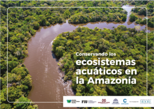
La Alianza Aguas Amazónicas reúne 28 organizaciones de Bolivia, Brasil, Colombia, Ecuador, Estados Unidos, Francia y Perú con el objetivo de mantener la integridad y conectividad de los ecosistemas acuáticos de la Cuenca Amazónica.
La Alianza se consolida en 2023, tras la fusión de la Red Ciencia Ciudadana para la Amazonía y la Iniciativa Aguas Amazónicas.
Nuestra existencia es resultado de años de trabajo y amplia colaboración para entender y conservar los ecosistemas acuáticos de la Amazonía. En 2016 WCS convocó a los participantes de la “Conferencia Internacional Aguas Amazónicas”, quienes compartían conocimiento, experiencia y preguntas fundamentales sobre la necesidad de un enfoque de manejo integrado de cuencas para la gestión de áreas protegidas, el manejo sostenible de pesquerías, y la mitigación de impactos de las inversiones de infraestructura. Varios de ellos también colaboraban ya para dar respuesta a preguntas científicas fundamentales para este enfoque integrado de cuencas. La conferencia permitió unir personas y organizaciones con experiencias, calificaciones e intereses diversos, llevándonos hacia una visión compartida para una sola cuenca: la Cuenca Amazónica. La conferencia cerró con la firma de la Declaración Conjunta Iniciativa Aguas Amazónicas estableciendo 7 objetivos específicos, y con el lanzamiento de la página web www.aguasamazonicas.org.
La misión de la Alianza Aguas Amazónicas es coordinar acciones basadas en ciencia para la incidencia en políticas públicas, y también en estrategias de responsabilidad socioambiental del sector privado. Busca conservar la conectividad de los ecosistemas acuáticos de la Cuenca Amazónica y enfrentar amenazas a los mismos — especialmente aquellas amenazas que necesitan acción colectiva a múltiples escalas, incluyendo cuencas transfronterizas y la Cuenca Amazónica entera. Su valor agregado es la posibilidad de un trabajo articulado entre organizaciones indígenas y de la sociedad civil, entidades de gobierno, universidades y centros de investigación, sector privado y organismos multilaterales para alcanzar resultados duraderos a gran escala.
Nuevo informe sobre los objetos de conservación para los ecosistemas acuáticos de la Cuenca Amazónica
CONOCE MÁSNOVEDADES
SOCIOS
La Alianza Aguas Amazónicas cuenta con el apoyo de la Fundación Gordon y Betty Moore y el pueblo de los Estados Unidos a través de la Agencia de los Estados Unidos para el Desarrollo Internacional.


