Most of the Caquetá-Japurá Basin is in the Colombian departments of Caquetá and Amazonas and the state of Amazonas in Brazil. The Caquetá-Japurá River is approximately 2,800 km long and is the fourth longest tributary of the Amazon River.

Map: Wildlife Conservation Society, 2016
About two-thirds of the tributary is in Colombia, where it is known as the Caquetá. The other one-third is in Brazil, where it is called the Japurá. The Caquetá-Japurá Basin occupies approximately 253,000 km2, or just over 3.7 percent of the Amazon Basin. Eighty percent of the Basin is in Colombia. It is the ninth largest tributary basin in the Amazon and encompasses seven Colombian departments and one Brazilian state.
The headwaters of the Caquetá-Japurá are nearly 5,000 km from the Amazon River mouth and arise in the Cordillera Oriental of Colombia, which is less than 100 km from the upper Magdalena Basin and is only about 250 km south of Bogotá. Annual precipitation ranges from about 2,300 mm near the mouth of the Japurá to more than 3,000 mm in the middle and upper Caquetá Basin. Near the foothills annual average rainfall can exceed 5,000 mm.
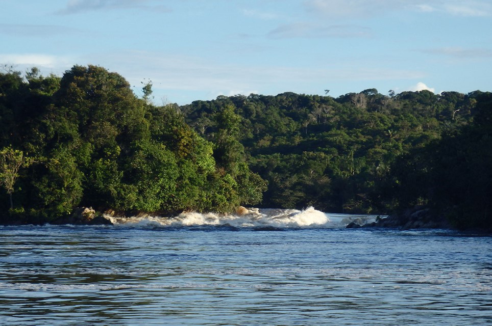
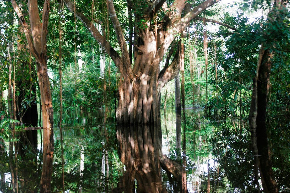
The northwestern drainage of the Caquetá Basin includes not only the high Cordillera Oriental but also an extensive eastern foothill region that is generally below 500 m. The middle Caquetá—usually defined as the area between Araracuara and the Brazilian border—is noted for its large number of rocky outcroppings and cataracts. Deep gorges with high vertical walls, such as the Cañón de Araracuara, also exist here. For most of its length the Caquetá River meanders around broad curves and there are some extensive floodplains. The lower 200 km of the Japurá River join with the Amazon River (Solimões) floodplain to form one of the largest wetlands in the Amazon dominated by flooded forest, where is located the Mamirauá Sustainable Development Reserve in Brazil.
The Caquetá-Japurá is a turbid river with numerous blackwater and clearwater tributaries that arise largely in the lowlands. The Apaporis River, whose confluence with the Caquetá is at the Colombian-Brazilian border, is the largest blackwater tributary. It is famous for its strikingly beautiful waterfalls and rapids.
Annual river-level fluctuation has been measured for a few years at Araracuara on the middle Caquetá and averages approximately 9 m. Near gorges, however, annual river-level fluctuations reaching 17 m have been reported. The Amazon (Solimões) River largely controls the annual river-level fluctuation of the lower Japurá, which averages approximately 10 m.
Indigenous groups dominate the sparse population of most of the Caquetá-Japurá Basin. Florencia, with more than 100,000 residents, is the most populous city in the valley and is the capital of the department of Caquetá. Araracuara, with approximately 30,000 residents, is the largest city in the middle Caquetá Basin.

Department – Country: Colombia Main Basin – Sub Basin: Caquetá-Japurá Photographer: Jhon Jairo Patarroyo
Protected Areas
The upper and middle Caquetá Basin has been largely controlled by either Colombian guerrilla forces or drug traffickers since the 1980s insurgencies have dampened colonization. Indigenous groups granted land rights from the Colombian government inhabit most of the middle and lower Caquetá Basin.
The federal government established two large protected areas in the region: Chiribiquete National Park in the Andean foothill region and Cahuinari National Park near the Brazilian border.
Uses & Impacts
Most of the colonization within the Caquetá-Japurá Basin has been in the foothill region along the road between Mocoa and Florencia. Caquetá-Japurá headwaters are among the most deforested of any large basin in the western Amazon. Besides cattle ranching, coca has also been a major economic activity that has led to deforestation. Colonized areas farther downstream include Araracuara, Puerto Santander and La Pedrera in the middle Caquetá. The major roads into the Caquetá Basin are restricted to the foothill region, although Bogotá is connected to Chiribiquete National Park in the department of Caquetá by a road that crosses the Colombian departments of Meta and Guaviare.
Commercial fishermen in the middle Caquetá region target catfish, which are then transported to Bogotá by cargo planes and Brazilian fishermen from the city of Tefé exploit the lower Japurá River. The floodplains of the lower Japurá and the adjoining Solimões have been extensively logged for several decades. Brazilian gold miners have explored the region near the Brazilian-Colombian border for alluvial-gold deposits but so far this has not spurred a rush to the area.
-

Caquetá Japurá 1
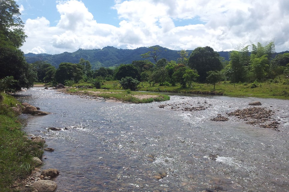
Andean foothill stream in the Caquetá Basin. Department – Country: Colombia Main Basin – Sub Basin: Caquetá-Japurá Photographer: Juan Bogotá
-

Caquetá Japurá 2
Department – Country: Colombia Main Basin – Sub Basin: Caquetá-Japurá Photographer: Sandra Bibiana Correa
-

Caquetá Japurá 3
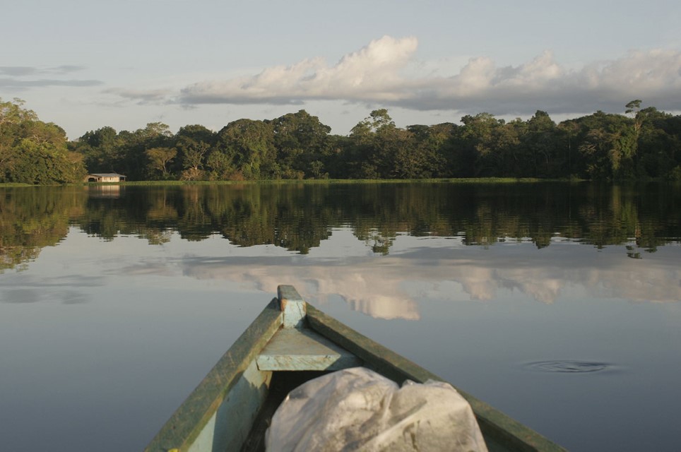
Department – Country: Colombia Main Basin – Sub Basin: Caquetá-Japurá Photographer: Sandra Bibiana Correa
MAIN RIVER BASINS
Caquetá-Japurá
Juruá
Madeira
Marañón
Napo
Negro
Purus
Putumayo-Içá
Tapajós
Tocantins
Trombetas
Ucayali
Xingu

