The Putumayo-Içá is the only river in the Amazon Basin that drains territory in Colombia, Ecuador, Peru and Brazil. The Putumayo River demarcates most of the Peruvian-Colombian border. The river’s lower 250 km are in Brazil, where it is known as the Içá. Near the Brazilian border, Colombia has exclusive claim to a 50 km stretch of the Putumayo in the southern panhandle area. This gives the country access to the Amazon River between Peru and Brazil.

Map: Wildlife Conservation Society, 2016
The Putumayo-Içá River is approximately 1,600 km long and is the tenth longest tributary of the Amazon River. The river’s narrow basin encompasses 118,000 km2, or approximately 1.7 percent of the Amazon Basin, to make it the 11th largest sub-basin.
The Putumayo-Içá Basin is located within the large Colombian departments of Putumayo and Amazonas and the Peruvian department of Loreto. The river’s headwaters are in the Ecuadorian province of Napo. The headwaters of the Putumayo-Içá arise at nearly 4,000 m in the Colombian Andes. The sediment concentrations in the river are high enough to make it a turbid river; however, they are only about one-third the level of the sediment concentrations of the Amazon River into which it flows.
The Putumayo flows mainly through an area at the north of the Napo River and the Amazon River in Peru. There are no major cataracts on the Putumayo-Içá and it is navigable for most of its length. Annually, most of the Putumayo-Içá Basin receives more than 3,000 mm of precipitation and it has relatively large wetlands because of its meandering course.

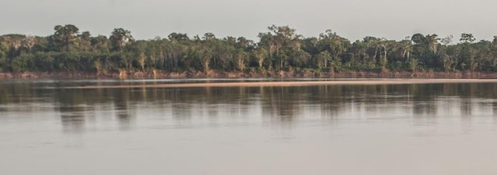
Santo Antônio do Içá – Amazonas – Brazil. Photo: © Michael Dantas/WCS
Protected Areas
Only Colombia has designated any relatively large protected areas within the Putumayo-Içá Basin. The Paya National Park occupies approximately 4,220 km2 of mostly upland forest near the Colombian-Ecuadorian border and Amacayacu National Park covers approximately 2,935 km2. The latter is in the panhandle (sometimes called the trapezium by Colombians) north of the Amazon River. The small rivers within the park flow into the Putumayo and Amazonas Rivers in Colombia and into the Içá in Brazil. Nearly one-half of the Putumayo Basin in Colombia is part of the Predio Putumayo Indigenous Reserve.
Learn about the Project for the Integrated Management of the Putumayo-Içá River Basin, implemented by our partner Wildlife Conservation Society (WCS). This initiative seeks to strengthen the conditions that allow Colombia, Ecuador, Peru and Brazil to manage shared natural resources.
Uses & Impacts
Overall, the Putumayo-Içá Basin is sparsely populated and most development is in the Andean headwaters. The foothill region and adjacent lowlands have been extensively deforested for agriculture. The most developed area is centered on the Orito oil fields and the trans-Andino pipeline transports crude oil from the fields to Tumaco on the Colombian coast. In addition, a secondary pipeline from Ecuador connects to the trans-Andino pipeline at Orito. Rebels repeatedly bombed the pipeline in past decades during Colombia’s internal armed conflict, but no major pollution was reported due to these incidents. Because the petroleum business is privatized in Colombia, oil exploration and drilling is expected to intensify in the Putumayo Basin, especially as insurgencies are reconciled.
Discover the Putumayo-Içá Basin Project
-

Putumayo-Icá-2.1
MAIN RIVER BASINS
Caquetá-Japurá
Juruá
Madeira
Marañón
Napo
Negro
Purus
Putumayo-Içá
Tapajós
Tocantins
Trombetas
Ucayali
Xingu

