The Trombetas River is approximately 750 km long and drains 150,000 km2, or 2.2% of the Amazon Basin.

Map: Wildlife Conservation Society, 2016
The headwaters of the Trombetas arise near the Guyana-Suriname border in the Serra Acaraí (also called “Acarí”) and the Serra do Tumucumaque. They are ancient hilly regions on the eastern Guiana Shield and are no higher than 700–900 m. Almost the entire Trombetas Basin is in the Brazilian state of Pará. The headwater area of a small western tributary lies within the states of Roraima and Amazonas, accounting for approximately 1 percent of the area. Most of the Trombetas Basin is on the Guiana Shield. Despite its intense dry season, most of the Basin is largely covered by rainforest. The amount of annual rainfall ranges from approximately 2,200 mm near the Trombetas River mouth to less than approximately 1,600 mm in the headwaters area.
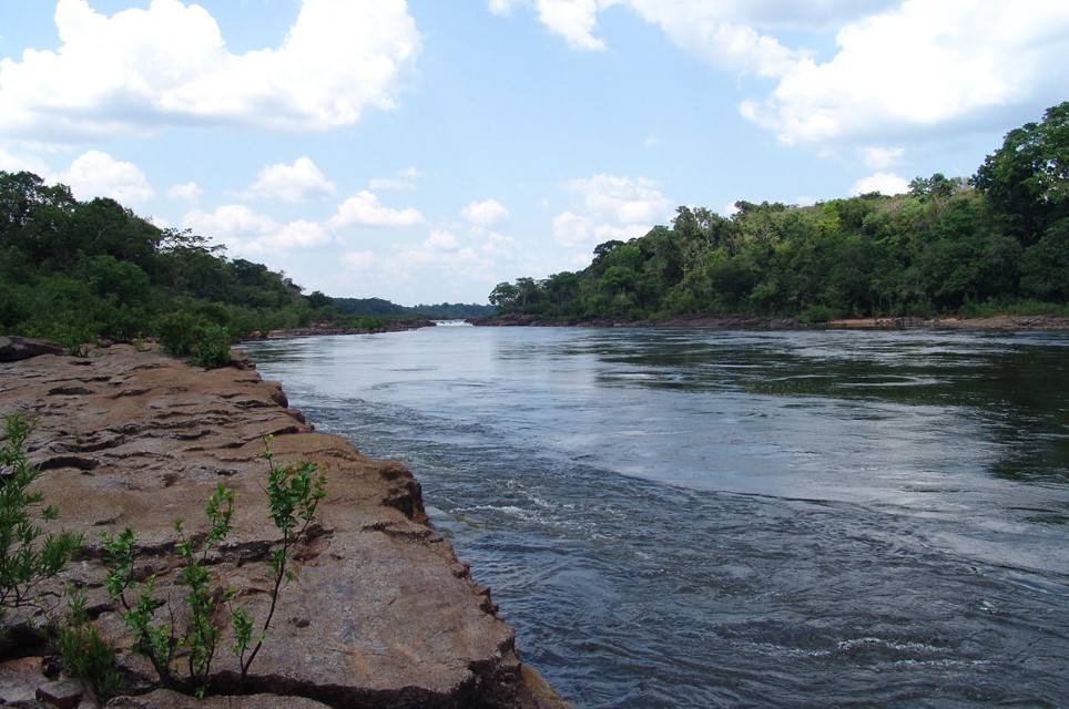
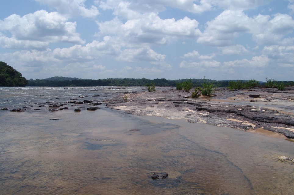
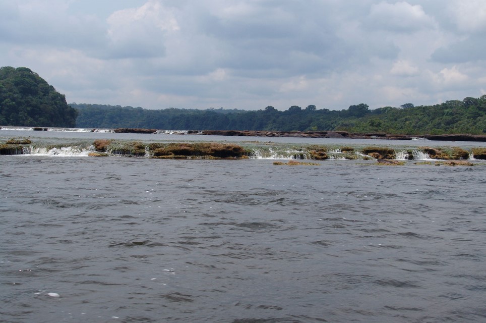
The Trombetas River is a clear-water river, although the lower 20 km can be turbid when water from the Amazon River invades it. Within the Trombetas Basin there are also small, blackwater tributaries. The Amazon River largely controls seasonal water levels in the lower Trombetas River. The river is in flood from March to August; the low-water period is from September to February. The dry season is intense in the middle and upper Trombetas Basin when many tributaries nearly become dry. The Trombetas River and its major tributaries are studded with cataracts and riverbeds are often rocky. The first major cataract is near Cachoeira Porteira at the confluence of the Trombetas and Mapuera Rivers, approximately 260 km from the mouth of the Trombetas.

Main Basin – Sub Basin: Trombetas Photographer: Efrem Ferreira
Protected Areas
Most of the Trombetas Basin is still isolated and no major roads cross it. Cataracts prevent boat travel deep into its interior. Large parts of the basin are designated as indigenous areas. The Trombetas Biological Reserve in the lower course includes a large lake (Lago Erepecuru) and a 150 km long left-bank stretch of the Trombetas that has important turtle nesting beaches. Opposite this stretch, on the right bank, is Saracá-Taguera National Forest. Porto Trombetas is at the northern boundary of the forest.
Uses & Impacts
The lower Trombetas region and the area near Porto Trombetas have been heavily colonized for cattle ranching and deforestation is extensive. Quilombos, or settlements that African slaves who escaped built in nineteenth century, exist in the region.
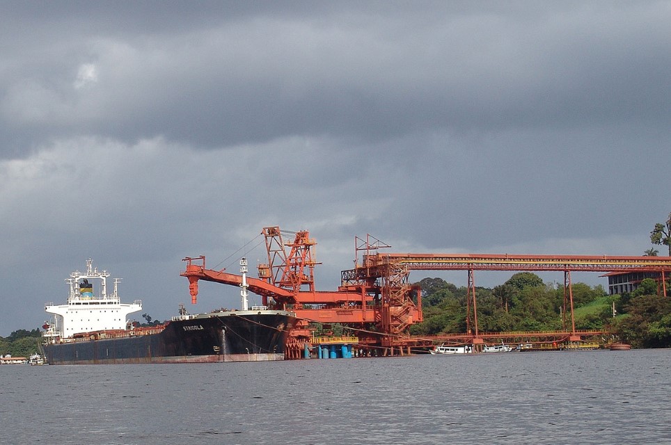
The lower Trombetas River is extensively fished to supply the Oriximiná and Santarém markets. Bauxite is the most commercially valuable resource in the Trombetas Basin. It is mined near Porto Trombetas, a rapidly growing city with plane service to Manaus and Belém. A 20 km long conveyor belt carries bauxite to a riverside dock, where it is loaded onto barges and ships and transported to the Barcarena plant near Belém for processing. The Norte Mining Company, whose partners include Reynolds and Alcoa, has replanted mined sites with a variety of native tree species. There have been no signs of any major river pollution near Porto Trombetas. There are plans to build a relatively large dam near Porto Trombetas.
-

Trombetas 1
Main Basin – Sub Basin: Trombetas Photographer: Efrem Ferreira
-

Trombetas 2
Main Basin – Sub Basin: Trombetas Photographer: Efrem Ferreira
-

Trombetas 4
Main Basin – Sub Basin: Trombetas Photographer: Efrem Ferreira
MAIN RIVER BASINS
Caquetá-Japurá
Juruá
Madeira
Marañón
Napo
Negro
Purus
Putumayo-Içá
Tapajós
Tocantins
Trombetas
Ucayali
Xingu

