The Napo Basin encompasses approximately 101,000 km2, or 1.5 percent of the Amazon, and is the smallest of the Amazon’s tributary basins that occupy at least 100,000 km2. Of the Amazon’s large tributaries, the 885 km Napo River exceeds only the Trombetas in length.

Map: Wildlife Conservation Society, 2016
Approximately 60 percent of the Napo Basin is in Ecuador; the other 40 percent is in Peru. The Napo Basin accounts for most of the drainage area of the Amazon River within Ecuador. The Napo Basin located in Peru is entirely within the Region of Loreto. The Ecuadorian section of the valley is divided among four provinces, with more than one-half in the large province of Napo.
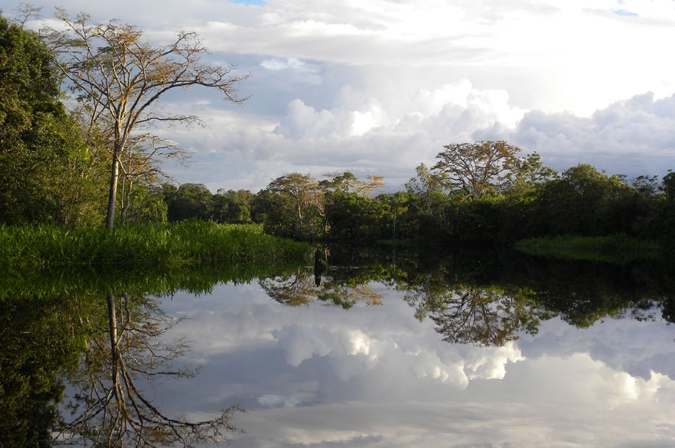
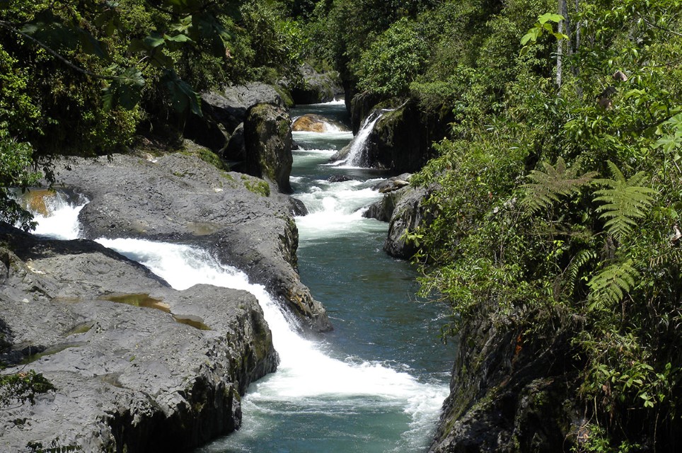
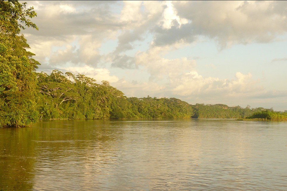
The headwaters of the Napo River arise within 100–200 km of Quito, Ecuador’s capital in the high Andes. Andean headwaters of the Napo above approximately 400 m run clear except during heavy rainstorms. In the lowlands the Napo is a muddy and highly meandering river with a large floodplain. The Curaray, a blackwater river with sections in Ecuador and Peru, is the only large tributary of the Napo. There are also numerous smaller blackwater tributaries in the Napo Basin from the foothills to the mouth region.
Annual precipitation totals in the Napo Basin vary from approximately 2,500–5,000 mm. The highest totals are on the Andean slopes. The average annual river-level fluctuation of the lower Napo in Peru is approximately 8.5 m, which is similar to that of the Amazonas near Iquitos. Floodplains along the Napo are inundated from about December through May each year.

Department – Country: Orellana – Ecuador Main Basin – Sub Basin: Napo – Río Napo Photographer: Galo Zapata-Ríos
Protected Areas
Peru has yet to establish any large protected areas in the Napo Basin, but Ecuador has two relatively large protected areas. Yasuní National Park and the Cuyabeno Wildlife Production Reserve. In both there is access by roads that have been built by oil companies.
The Yasuní National Park is just south of the Napo River near the Peruvian border and encompasses approximately 6,500 km2 of mostly upland forest. Two indigenous groups, the Waorani and the Quichua, inhabit much of the park. Colonists have recently moved into the park and have deforested large areas to grow crops. Hunting and fishing have also increased in the park to supply a local market at Coca.
The Cuyabeno Wildlife Production Reserve encompasses about 2,500 km2 near the Colombian border along the Aguarico River, a tributary of the Amazon River. Cuyabeno receives 3,500–4,000 mm of rain annually and most of the reserve is subject to seasonal flooding. In general, Cuyabeno can be considered as a large wetland area. Four indigenous groups—the Siona-Secoya, the Quichua, the Cofane and the Shuar—inhabit the reserve along with colonists who have recently arrived. Government and conservation groups have implemented indigenous- and community-based multiple-use programs to manage the reserve. Ecotourism has become popular at Cuyabeno due to its rainforest and tropical rivers.
The Ecuadorian government recently issued a decree blocking future oil mining, exploration, logging and colonization in the Yasuni and Cuyabeno protected areas.
Uses & Impacts
Although the Napo Basin occupies only a small part of the Amazon Basin, the media and environmental groups have spotlighted it because of the large petroleum reserves known to exist in the “Oriente,” as the eastern Amazon region is called in Ecuador. Roads built by the oil company Texaco-Gulf in the late 1960s and 1970s opened the Oriente to both extensive oil exploration and agricultural colonization. The main highway runs from Quito to Lago Agrio, where the trans-Ecuadorian pipeline joins the trans-Andino pipeline to send crude oil to coastal refineries. A highway from Ambato, south of Quito, enters the southern Napo Basin. Ecuadorian roads in the Oriente now cross most of the headwaters of the Napo River and extend well beyond the foothills.
Since the 1970s, the road network in the Oriente has attracted large numbers of agricultural colonists from the highlands. Perhaps 100,000 people from the highlands have now settled in the Oriente. Most farming is restricted to the uplands, where bananas, manioc, coffee, cacao, maize and vegetables are grown. Cattle ranching is expanding rapidly and large pastures are widespread throughout the upper Napo Basin. The pastures, unlike those in most of the Amazon Basin, do not dry out because of the appreciable amounts of rainfall throughout the year in most of the Oriente. The most extensively deforested region in the Oriente is between the Aguarico and Napo Rivers.
Most environmental concern in the upper Napo Basin has focused on the petroleum pipeline in the Oriente. It runs approximately 250 km southward from the Ecuador-Colombian border to the southern Napo Basin. Pipelines—usually above ground—cross all of the major rivers in the upper Napo Basin. Due to the unstable geology of the upper Napo Basin and the extensive deforestation in some areas, swollen rivers, extensive runoff and landslides can cause pipelines to rupture.
At higher elevations the main pipeline is vulnerable to volcanic activity and earthquakes. In 1987, for example, a major earthquake shattered a portion of the pipeline and large quantities of crude oil reportedly flowed into the Aguarico and Napo Rivers. No large-scale downstream impacts, however, were recorded. Secondary pipelines that cross the Napo have also been ruptured and have caused local fish kills and destroyed floodplain crops.
Environmental and indigenous groups have accused Petroecuador (Ecuador’s government-run petroleum company) and Texaco of causing extensive oil pollution of the headwaters of the Napo River. Both companies have been sued. Most of Ecuador’s known petroleum reserves lie within the upper Napo Basin. Ecuador relies heavily on petroleum revenues, which account for more than one-half of its gross national product.
The Napo’s first large dam (1,500 MW) will be the Coca Codo Sinclair and it is now under construction. It is located at about 1,300 m in the Andes and only about 100 km from Quito. The area where it is located is subject to considerable tectonic activity that has presented challenges to its construction.
The work of the Amazon Waters Alliance on the Napo River
Our partner WCS Ecuador worked with the Napo River Artisanal Fishermen’s Association to promote the use of the Ictio citizen science tool. Fishermen and women have been recording their catches on this platform and sharing their experience with fishermen and women from other countries in the Amazon Basin at events called “Knowledge Dialogues”.
A river clean-up initiative emerged from the Second Dialogue of Knowledge in Huacho, Peru, in March 2024, where 32 representatives of organizations from Ecuador, Bolivia and Peru committed to joint actions to ensure the health of rivers and promote more sustainable fisheries management. The fishermen and women of the Napo River Association, together with other volunteers, collected 200 kg of waste, fulfilling the agreement of the “Knowledge Dialogues”.
We recommend reading Napo River Artisanal Fishermen’s Association fulfills its commitment to clean rivers.
-

Napo 2
Department – Country: Orellana – Ecuador Main Basin – Sub Basin: Napo – Río Napo Photographer: Galo Zapata-Ríos
-

Napo 3
Department – Country: Orellana – Ecuador Main Basin – Sub Basin: Napo – Río Napo Photographer: Galo Zapata-Ríos
Follow us on social media for scientific outreach content about rivers and aquatic ecosystems in the Amazon: Twitter, LinkedIn and Facebook.
MAIN RIVER BASINS
Caquetá-Japurá
Juruá
Madeira
Marañón
Napo
Negro
Purus
Putumayo-Içá
Tapajós
Tocantins
Trombetas
Ucayali
Xingu

