Estuary: the Amazon Meets the Atlantic
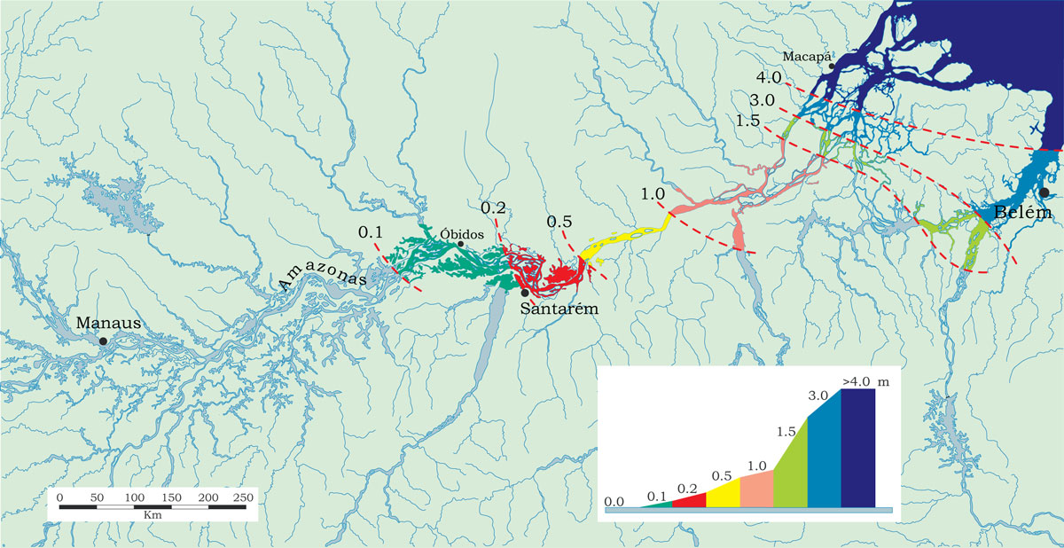
Due to the enormous volume of water discharged by the Amazon River, the estuary is mostly a freshwater environment, though brackish waters seasonally invade parts of its southern side. The estuary is dominated by Marajó Island along with a series of archipelagoes which greatly increase the amount of shoreline and tidal habitat. The Amazon River channel discharges to the north of Marajó, but the main stem’s waters invade to the south through the Breves connection. There is a slight increase of <0.5 m in the absolute level of the Amazon River near its mouth during the high-water period, though flooding in the estuary is controlled by the daily tides and maximum tidal levels are approximately 4 meters. The Tidal influence also reaches upstream and near the mouth of the Xingu River, 200 km from the Atlantic, maximum tidal range is approximately 1.9 m.
The Amazon River discharges into the Atlantic and is deflected northward by the Southern Equatorial Current. The water along the coast of the state of Amapá is brackish, though often with a freshwater layer on top. Amazon River discharge prevents the invasion of saltwater into its mouth area. An obvious testament to this observation is the vast tidal forest made up almost entirely of rainforest species. The mouth region of the Amazon River is relatively shallow with depths usually less than 10 m. Channel depths average approximately 20 m near Macapá, the capital of the state of Amapá.
The Amazon River has a strong tidal bore, called pororoca locally, and is most evident near the mouth region. The bore, or uplifted solitary wave, is caused when spring tides overcome the river’s current in shallow waters that are usually less than 3–4 m deep. The bore is noticeable only during low tides, when it can reach 2 m in height as it rolls 10–15 km per hour upstream. The bore’s force is sufficient to demolish riverbanks and cause huge trees to crash into the water. Local mariners consider the Amazon River pororoca to be dangerous.
-
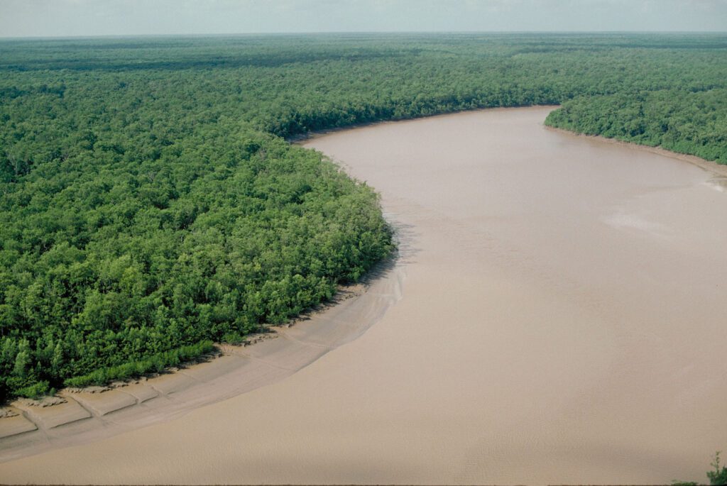 Mangrove along the Amapá coast just north of the Amazon River mouth that indicates a mixture of fresh and salt water. Department – Country: Amapá – Brazil Main Basin – Sub Basin: North Coast Basins – Araguari Elevation: 14 Photographer: Michael Goulding
-
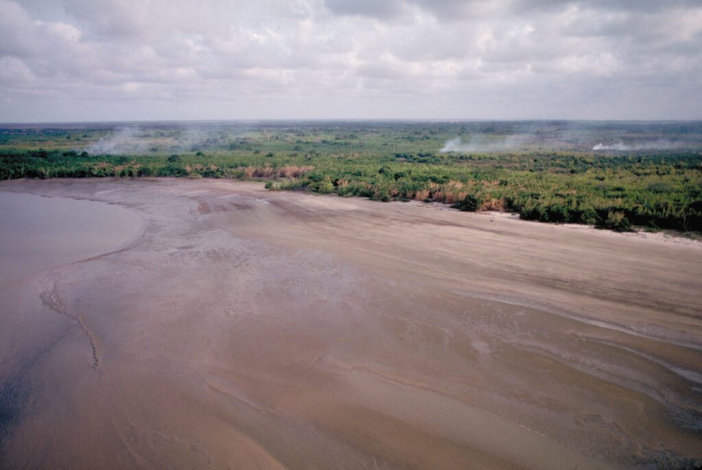 Enormous mudflat near the mouth of the Amazon River built with sandy sediments transported mostly from the Andes more than 4,000 km upstream. Department – Country: Pará – Brazil Main Basin – Sub Basin: Estuary – South Amazon Estuary Elevation: 3 Photographer: Michael Goulding
-
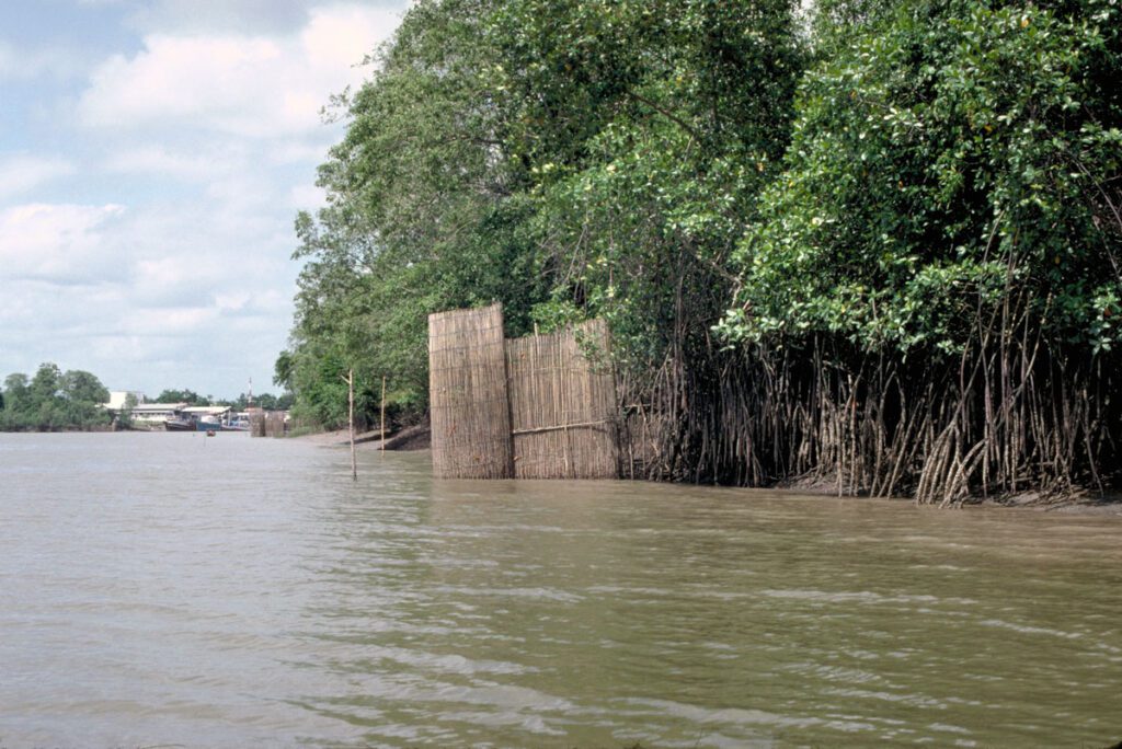 Maximum tidal levels are indicated by the naked stems near the fish trap. Department – Country: Pará – Brazil Main Basin – Sub Basin: Estuary – South Amazon Estuary Elevation: 10 Photographer: Michael Goulding
-
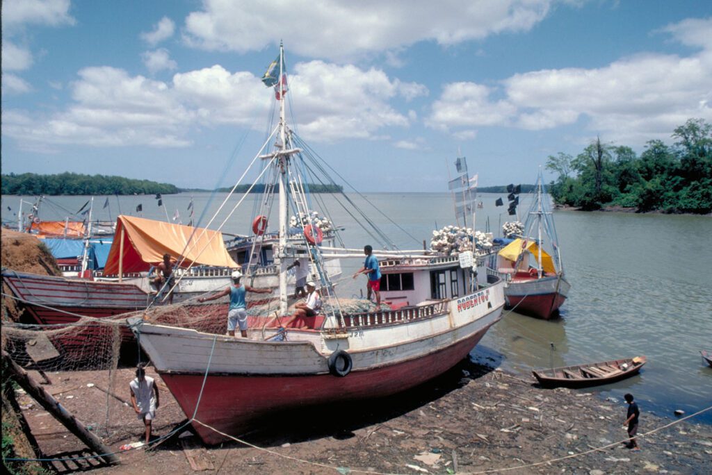 Low tide near the town of Vigia where brackish water occurs during part of the low water period of the Amazon River. Department – Country: Pará – Brazil Main Basin – Sub Basin: Estuary – South Amazon Estuary Elevation: 10 Photographer: Michael Goulding
-
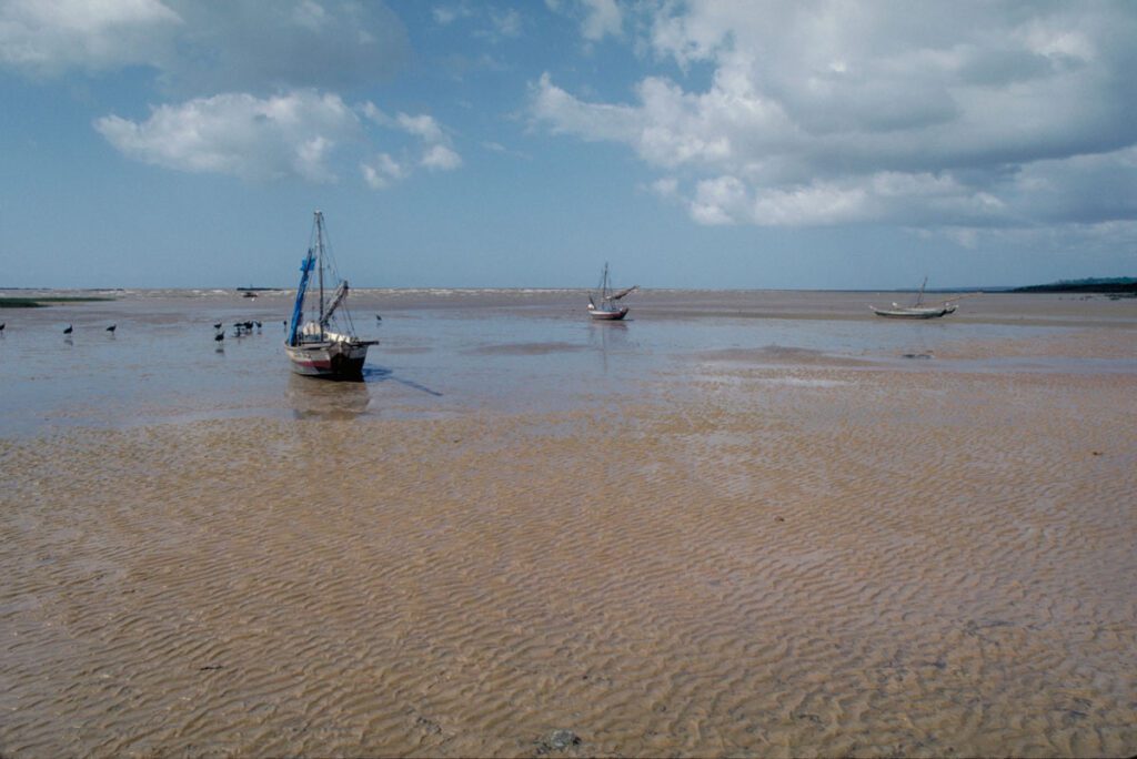 The estuary near where Marajó Bay meets the Atlantic. During the Amazon River’s high water period freshwater extends out of Marajó Bay and along the Atlantic coast. Department – Country: Pará – Brazil Main Basin – Sub Basin: Estuary – South Amazon Estuary Elevation: 19 Photographer: Michael Goulding
-
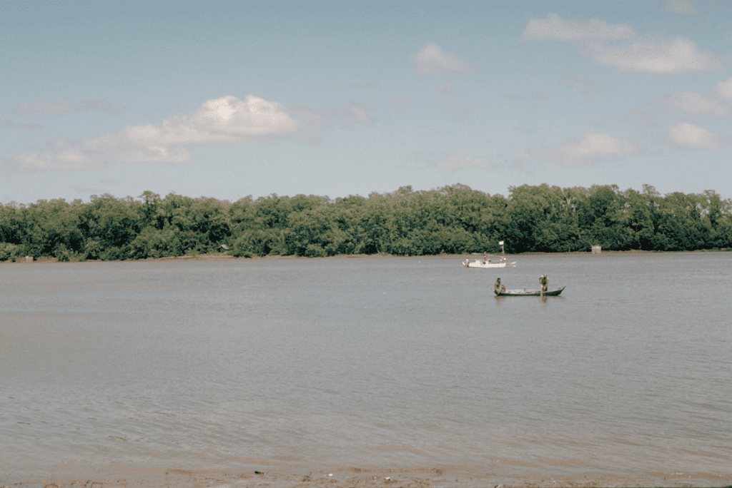 Tidal floodplain of Marajó Bay, about 100 km inland from the Atlantic. Department – Country: Pará – Brazil Main Basin – Sub Basin: Estuary – South Amazon Estuary Elevation: 10 Photographer: Michael Goulding

